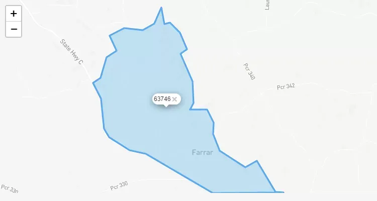
Detailed information about ZIP code 50161 located in Farrar, Iowa. This postal code covers standard areas with a population of 1,723 residents.
About 50161 ZIP Code Area
The ZIP code 50161 is part of the USPS (United States Postal Service) system serving the Farrar area. This code ensures efficient mail delivery and geographic organization within Iowa.
ZIP Code (Zip Code) - Representación de área del código postal de los correos de los Estados Unidos.
Choose the city to find the zip code
Código Postal EEUU - IOWA - FARRAR - 50161
ZIP Code 50161 - Farrar, IOWA
Detailed information about ZIP code 50161 located in Farrar, Iowa. This postal code covers standard areas with a population of 1,723 residents.
About 50161 ZIP Code Area
The ZIP code 50161 is part of the USPS (United States Postal Service) system serving the Farrar area. This code ensures efficient mail delivery and geographic organization within Iowa.
Error en la consulta: SQLSTATE[42S02]: Base table or view not found: 1146 Table 'u340697872_zipcodechecker.eeuu_zip_codes_data' doesn't exist
Definitions of Status
PRIMARY: Refers to the main name of the city, typically its official designation. Although the city might have an ACCEPTABLE alternative name, the primary name remains the official one.
ACCEPTABLE: Indicates a suitable alternative city name. Commonly abbreviated city names are often listed as unacceptable because abbreviations are not considered an acceptable city name format.
IMPROPER/NOT ACCEPTABLE: Denotes that an inappropriate city name was entered or received based on the provided information.
UNIQUE: Assigned to a business, government agency, or entity with a significant mail volume. This designation depends on the average daily volume of letter-sized mail received, the availability of ZIP code numbers in the postal area, and a cost-benefit analysis by the postal service.