EEUU » ARIZONA » GILBERT
ZIP Code (Zip Code) - Representación de área del código postal de los correos de los Estados Unidos.
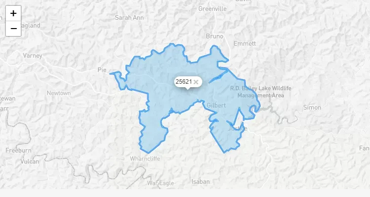
Código Postal EEUU - ARIZONA - GILBERT
ZIP Codes in Gilbert, ARIZONA
Find complete information about all ZIP codes in Gilbert, Arizona. Our interactive map shows the postal code boundaries and locations throughout the city.
Gilbert Postal Codes
The postal system in Gilbert is organized to efficiently serve both residential and commercial areas. Each ZIP code represents a specific delivery zone within the city limits.
| City | Name | Zip Code | Type | Population |
|---|---|---|---|---|
| Gilbert, AZ | PRIMARY | 85233 | STANDARD | 30.501 |
| Gilbert, AZ | PRIMARY | 85234 | STANDARD | 38.062 |
| Gilbert, AZ | PRIMARY | 85295 | STANDARD | 25.179 |
| Gilbert, AZ | PRIMARY | 85296 | STANDARD | 29.919 |
| Gilbert, AZ | PRIMARY | 85297 | STANDARD | 19.933 |
| Gilbert, AZ | PRIMARY | 85298 | STANDARD | 13.876 |
| Gilbert, AZ | PRIMARY | 85299 | PO BOX | 1.427 |
Definitions of Status
- PRIMARY: Refers to the main name of the city, typically its official designation. Although the city might have an ACCEPTABLE alternative name, the primary name remains the official one.
- ACCEPTABLE: Indicates a suitable alternative city name. Commonly abbreviated city names are often listed as unacceptable because abbreviations are not considered an acceptable city name format.
- IMPROPER/NOT ACCEPTABLE: Denotes that an inappropriate city name was entered or received based on the provided information.
- UNIQUE: Assigned to a business, government agency, or entity with a significant mail volume. This designation depends on the average daily volume of letter-sized mail received, the availability of ZIP code numbers in the postal area, and a cost-benefit analysis by the postal service.